Spectral Unmixing Techniques Examined for Analysis of Herbaceous Fractional Cover in Wildfire-Prone Shrublands in Southern California, USA
Krista West at SDSU/UCSB JDP discusses techniques of analysis for herbaceous fractional cover in wildfire-prone shrublands in Southern California
Title: Spectral Unmixing Techniques Examined for Analysis of Herbaceous Fractional Cover in Wildfire-Prone Shrublands in Southern California, USA
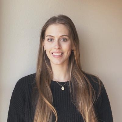
Speaker: Krista West (UCSD/UCSB Geography)
Abstract: Southern California's native coastal shrubland ecoregions are being replaced by invasive herbaceous vegetation species that contribute to an increased risk of wildfire ignition and spread. When herbaceous species invade, green up during the spring season, and senesce and die in the fall season, they become flammable fuel. Ultimately, the expansion of these competitive invasive species can completely convert and replace the native shrubs and trees, which thereby increases the likelihood of future wildfire that can spread rapidly and widely through a positive feedback loop called the "grass-fire cycle." Despite the risk posed by the presence of herbaceous growth forms, image processing approaches for identification and quantification of fractional herbaceous cover in Southern California shrublands are not well established. The objective of this study was to determine how well spaceborne multispectral remote sensing data can be used to accurately extract information from, classify, and estimate fractional cover of herbaceous vegetation. Landsat 8 Operational Land Imager satellite data were acquired over San Diego County during each season of 2020, and the performance of developed spectral unmixing techniques (simple spectral mixture analysis (SMA), multiple endmember SMA (MESMA), and temporal mixture models (TMM)) were tested. Unmixing tests included single date and multi-date (intra-annual) input data, and inputs of different spectral band and spectral index combinations. Preliminary results demonstrated that the TMM spectral index input performed best and most closely resembled reality from San Diego County for all land cover classes of interest. These methods will enable improved detection of sensitive habitats by satellite for wildfire-prone communities and identify target areas for mitigating and combating the grass-fire cycle.
Speaker Bio: Krista West is in her fourth year of the San Diego State University/University of California, Santa Barbara Joint Doctoral Program (SDSU/UCSB JDP). Her research objectives revolve around using remote sensing data and methodologies to identify areas at risk of wildfires. She aims to learn more about how Southern California's shrubland fire regimes have changed over time, and to improve upon existing techniques to determine fire risk to wildland-urban interface residents in the event of a fuel-driven wildfire.
Find more information about our EDS Seminar Series and sign-up for the listserv here: https://earthlab.colorado.edu/seminar
