
I am a junior at CU Boulder studying Environmental Studies and Geography with a concentration in Geographic Information Science and hydrology. I am excited to be serving as a Remote Sensing and Data Science intern for Earth Lab and USGS for the spring and summer of 2021!
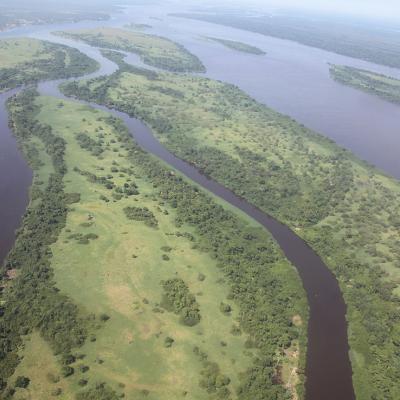
From centimeter-scale imagery collected from UAVs, to airborne hyperspectral imagery at the meter-scale, to the 10’s of meter scale from satellite multispectral imaging systems, the diversity of data representing the Earth’s surface at different scales enables us to ask questions from the hyperlocal to continental and global scale. We combine these data to better understand processes and change occurring on the Earth.
Fitts