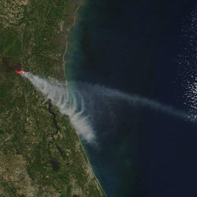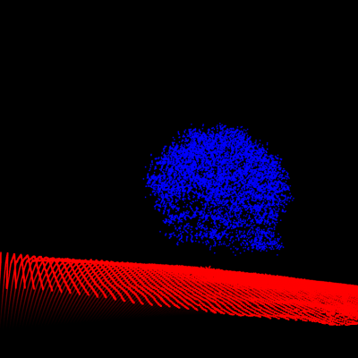
Max Cook is a graduate student working with Dr. Jennifer Balch in the Department of Geography. His work focuses on the social and ecological impacts of wildfires in the western United States. Specifically, he is interested in using "Big Data", including remote sensing, to understand the impacts of extreme fires and identify possible mitigation strategies for create fire-resilient communities. Max received his BS from Colorado State University in the Department of Forest and Rangeland Stewardship in Natural Resource Management and GIS. He has spent 5 years working with The Nature Conservancy in Colorado and Utah as a Geospatial Analyst, where he continues to work on applied conservation issues. In his free time, he is an avid angler, biker, and backcountry skier.