Automated, real-time DInSAR time series
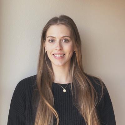
Dr. Kristy Tiampo (CU Boulder, ESOC, CIRES) explains how the NSF-funded GeoSCIFramework project aims to improve hazard early warning applications by applying big data analytics and machine learning methods to large streams of real-time data from a mix of seismic, geodetic-related sensors, and differential interferometric synthetic aperture radar (DInSAR) satellite imagery.
Date: 4/5/22
Location: Zoom & SEEC
Speaker: Kristy Tiampo (CU Boulder, CIRES)
Abstract: Funded by the NSF Office of Cyberinfrastructure and EarthCube programs, the collaborative GeoSCIFramework (GSF) project is an interdisciplinary research effort between CU, UNAVCO, the University of Oregon and Rutgers University. The primary goal is to improve earthquake, tsunami, and volcano early warning applications by applying big data analytics and machine learning methods to large streams of real-time data from a mix of seismic, geodetic-related sensors, and differential interferometric synthetic aperture radar (DInSAR) satellite imagery. It will provide researchers with a suite of datasets and a means to detect, monitor, and analyze geophysical activity over a region of interest. In parallel, we are funded by the NASA Sea Level Team, the NSF Navigating the New Arctic program and NASA Cryosphere to develop large-scale DInSAR data products to better characterize the spatial and temporal evolution of longer-term environmental hazards related to climate change. Here I will present the methodological approaches and new results from a variety of locations around the world.
Speaker Bio: Dr. Kristy Tiampo received her BSc in Civil Engineering from Tufts University, USA, and her MSc in Civil Engineering from Stanford University, USA. She obtained her PhD in Geophysics from the University of Colorado at Boulder, USA, after practicing as a construction engineer for the US Army Corps of Engineers for almost 10 years, during which time she earned her certification as a Professional Engineer. In 2003 she was appointed Assistant Professor of Geophysics at Western University, Canada, and was the NSERC and Aon Benfield/ICLR Industrial Research Chair in Earthquake Hazard from 2006 through 2011. Today she is Professor and Director of the Earth Science and Observation Center (ESOC) at the Cooperative Institute for Research in Environmental Sciences (CIRES) at the University of Colorado. Dr. Tiampo’s research focuses on understanding the processes that govern natural and anthropogenic hazards. These studies incorporate large quantities of remote sensing data such as space-based differential interferometric synthetic aperture radar (DInSAR), GPS data, seismicity and gravity, in order to provide insights into the nature and scale of these hazards. Ongoing efforts in her research group focus on improvements in the quality of those data, development of innovative analysis techniques and assimilation into geophysical models of the underlying processes. Ongoing research projects in her research group include investigations of the implications and consequences of hazards such as earthquakes, volcanoes, landslides, groundwater extraction, induced seismicity and climate change on infrastructure and society.

