Remote Sensing to Address Post-Fire Effects
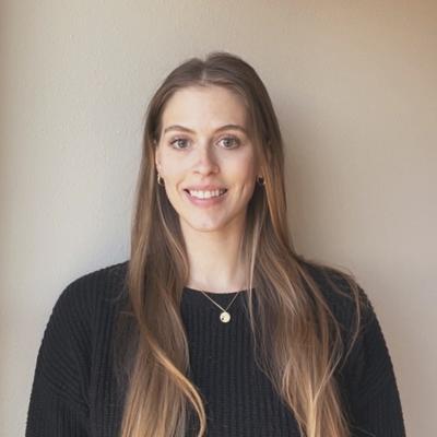
Dr. Nayani Ilangakoon of Earth Lab explains her work using remote sensing to evaluate postfire forest and shrub recovery in the Western United States.
Date: 3/15/22
Location: Zoom & SEEC 372 A/B
Speaker: Nayani Ilangakoon
Abstract: Coniferous and shrub ecosystems cover a larger portion of the western US. Increasing wildfire activities significantly alter vegetation structure and functioning of these ecosystems. We evaluated post-fire vegetation recovery and its drivers of three forest ecoregions (Southern Rockies, Northern Rockies, and Pacific Northwest) and a sagebrush shrub steppe in the western US using structural metrics derived from lidar remote sensing. All three forest ecoregions show an initial decline in canopy height during the first 9-25 years postfire followed by a gain of canopy height. Southern Rockies canopy height fully recovers to the unburned background state within the first 3 decades with mean recovery rate of 0.39 my-1 while the Northern Rockies and Pacific Northwest will likely recover within 5 decades, but only in the absence of fires within this period. The PNW exhibits the slowest recovery rate (0.19 my-1). The largest increase in mean canopy volume is observed in the SR region with areas of low burn severity (28%). The largest decline, however, was observed with high severity fires (-52%) in the NR ecoregion. In burned areas, lidar derived functional diversity metrics showed a trend of recovery with time since fire in the shrub steppe. We found that the number of spaceborne lidar footprints relative to the size of the fire-disturbed areas (< 2 km2) limited the ability to estimate the full effects of fire disturbance in shrub ecosystems. The capability of spaceborne lidar to map trends and patterns of structural and functional recovery provides exciting potential to identify critical biophysical and ecological shifts in a warming world.
Bio: Nayani Ilangakoon is a postdoctoral researcher at the Earth Lab at CU Boulder. She earned her Ph.D. in Geosciences from Boise State University. She has research experience in remote sensing, both with algorithm development and applications including characterization of ecosystem structure, function, and their dynamics after disturbances in a range of ecosystems. She is interested in combining remotely sensed observations and in situ data to understand vegetation structure-function relationships.

