Gold in the Hills: Mapping quaking aspen in the Southern Rockies
Max Cook (Earth Lab) describes his graduate work creating new methodology for mapping deciduous aspen trees using remote sensing
Title: Gold in the Hills: Mapping quaking aspen (Populus tremuloides) forests in the Southern Rocky Mountains, USA
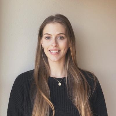
Speaker/Facilitator: Max Cook (CU GEOG, The Nature Conservancy)
Abstract: Quaking aspen (Populus tremuloides) is the most widely distributed tree species in North America. In many regions of the western United States, it is the dominant deciduous species, providing ecosystem service benefits ranging from biodiversity and wildlife habitat to economic and recreational value. Aspen forests are associated with wildfire adaptation, and expansion of such forest types has been proposed as a method for managing community risk to wildfire. With increasing focus on aspen ecology and management in the face of a changing climate and rising wildfire impacts, there is a need for accurate and reproducible methods to map this important forest type. Current nationwide land cover maps are based on 30-meter spatial resolution imagery and often mis-label aspen stands, with estimated error of 50-65% across the Southern Rocky Mountains Ecoregion. Here we present a method for mapping quaking aspen forests using seasonal composite imagery with derived chlorophyll vegetation indices from the Sentinel-2 Multispectral Instrument (MSI) and surface texture from Sentinel-1 Synthetic Aperture Radar (SAR) in the Google Earth Engine platform. With classification accuracy ranging from 86-92% and a spatial resolution of 10 meters, these methods achieve improvements over existing maps of quaking aspen forest cover.
Speaker Bio: Max Cook is a graduate student with Dr. Jennifer Balch in the Department of Geography. His work focuses on using remote sensing, GIS, and statistical learning to better understand the social and ecological impacts of wildfires in the western United States. Max received his B.S. in Natural Resource Management, Restoration Ecology, and GIS from Colorado State University, his M.A. in Geography from the University of Colorado Boulder and is a first year Ph.D. student in the Department of Geography at CU Boulder. He has spent 6 years working with The Nature Conservancy as a Geospatial Analyst, where he continues to work on applied conservation issues and serves as a member of the Earth Observation working group.


