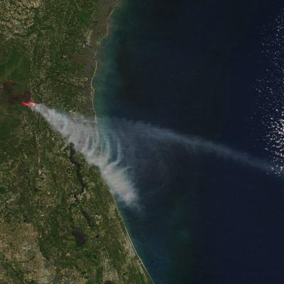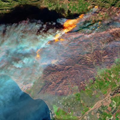
As a Graduate Research Assistant in Earth Lab, Victoria integrates diverse remote sensing data sets and creates open, reproducible code for environmental applications. Her most recent research involves studying how forest composition and health are changing over time in response to disturbances such as wildfire. She enjoys finding new ways to extract meaningful information from geospatial imagery, as well as leveraging cutting-edge computational methods and open source tools developed by the scientific community.
Victoria is currently pursuing a PhD in Geography at the University of Colorado Boulder (CU Boulder). She is a Teaching Assistant for the Introductory and Advanced Remote Sensing courses at CU Boulder, and also serves as the Student Advisory Council Chair for the American Society for Photogrammetry and Remote Sensing.
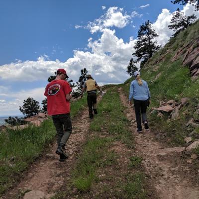
When she is not coding, Victoria can be found hiking, rock climbing, or swing dancing somewhere near the foothills of the Rocky Mountains.
Twitter: scholl_victoria
GitHub: vscholl