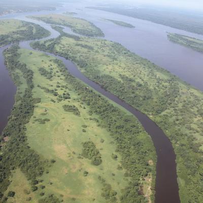
His active research and interests include the use and application of multi-modal, multi-scale, and multi-temporal remote sensing data, along with computer vision and deep learning techniques applied to urban and natural change, feature detection, disaster response, and environmental monitoring. 

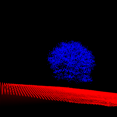
Joe holds a BS in Electrical Engineering from the University of Akron, where he focused on signal processing and controls, and a MS in Imaging Science from the Rochester Institute of Technology where his thesis pertained to waveform lidar and hyperspectral image analytics. Before joining Earth Lab, Joe was an imagery scientist in Esri’s Professional Services group where his work dealt with data fusion using active and passive remotely sensed data with applications in feature extraction and change detection.

In his free time, Joe enjoys traveling, soccer, disc golf, and being outside in the high- and low-country.


From centimeter-scale imagery collected from UAVs, to airborne hyperspectral imagery at the meter-scale, to the 10’s of meter scale from satellite multispectral imaging systems, the diversity of data representing the Earth’s surface at different scales enables us to ask questions from the hyperlocal to continental and global scale. We combine these data to better understand processes and change occurring on the Earth.
At Earth Lab, we often use data from diverse sources to facilitate inquiry, from the more conventional remote sensing datasets such as multispectral satellite imagery and radar backscatter, airborne lidar data, and high-resolution UAV imagery, to the less traditional datasets such as social media feeds, housing layers, and event databases.
Drones equipped with high resolution multispectral and RGB cameras can observe the natural environment at a much finer spatial and temporal scale than possible with most satellite imagery. Projects in Earth Lab using drones span forested environment recovery and structure mapping to landscape dynamics, and data integration with airborne and satellite imagery.
Drones are revolutionizing the way natural scientists measure their study systems. We are researching how measurements from small remote sensing drones, aka uncrewed aerial systems (UAS), can complement existing data to answer environmental questions in new ways.
On the heels of the data revolution, science is undergoing a model revolution to harvest scientific understanding from the modern data deluge. Modern models must scale to massive data, leverage spatiotemporal coherence in heterogeneous data, embed scientific knowledge, and answer science questions.
Deep learning has changed our modern experience, from automatically tagging your friends in your pictures, to powering autonomous vehicles that map our world. Increasingly, science applications of deep learning have enabled new insights at massive scale amidst the earth data deluge.
Modern science sometimes requires computers with much more power than is available from your average personal computer. At Earth Lab we develop and deploy our analyses in cloud environments to more easily scale our science.
Damage from natural hazards is increasing despite the growing ability of the geo-sciences to delineate where and when extreme events will occur. We show that decades of risky development has increased exposure to the most damaging natural hazards.
This project will advance fundamental understanding of how aboveground biomass recovery trajectories vary as a function of fire size and severity, drought, and conifer forest type (1984-present) across the western U.S.
In the face of increasing frequency and severity of disturbances to western U.S. forests, this effort integrates data from individual trees to entire ecoregions to advance understanding of western forest recovery.

Related Projects